





wildgoose Simple Map of Europe
Description
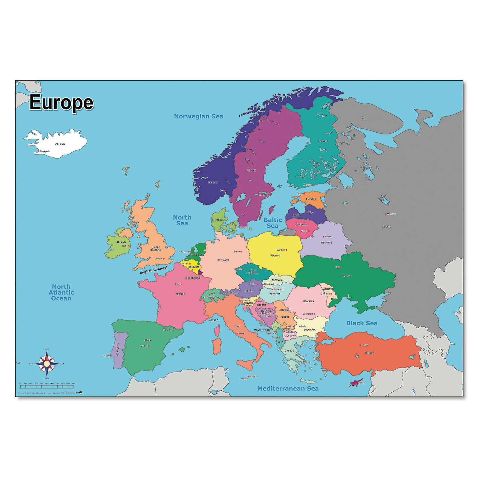
This clear, colourful map of Europe is an excellent visual aid for teaching Geography across Key Stage 1 and 2. Designed to help pupils understand country borders, capital cities and the location of the UK within Europe, it supports lessons on place and location knowledge.
Detailing the country borders, capital cities and oceans, it is perfect for any classroom or learning environment. Ideal for delivering key Geography objectives across Key Stage 1 and 2, this map can be used to support study about contrasting localities and to learn about the location of the UK in relation to other countries in Europe.
Includes 1 map of Europe
Features country borders, capital cities, and major oceans
Suitable for ages 5+
Dimensions: 594 x 841mm (A1 size)
Ideal for classroom wall displays or group table work
Perfect resource to help pupils make sense of the world around us and put Geography learning on the map
- Clear, colourful map showing country borders, capital cities, and oceans.
- Interactive and colour-coded for wall display or tabletop group work.
- Supports understanding of the UK's position within Europe.
- Encourages use of geographical terms and concepts such as compass points and directions.
- A1 size (594mm x 841mm) suitable for classroom environments.
Specifications
Wildgoose Education
Geography
Maps & Compasses
